Parliamentary Constituency Profiles (2011)
These reports provide an updated statistical profile of each Northern Ireland Constituency. They include information on the demographic profiles as well as key indicators of Health, Education, the Economy, Employment, Low Income and Crime. For each indicator, the profile presents:
-
The most up-to-date information available for each Constituency;
-
How each Constituency compares with the Northern Ireland average;
-
How each Constituency compares with the other 17 Constituencies in Northern Ireland; and,
-
Small area information, at ward level, demonstrating similarities and differences within each Constituency and highlighting any ‘hotspots’ that might exist, where available.
The data presented in these reports is based on the new Constituency boundaries which came into force following the May 2011 Assembly elections. Readers may also be interested in viewing the 2010 Constituency Profile Report which was based on the previous Assembly boundaries.
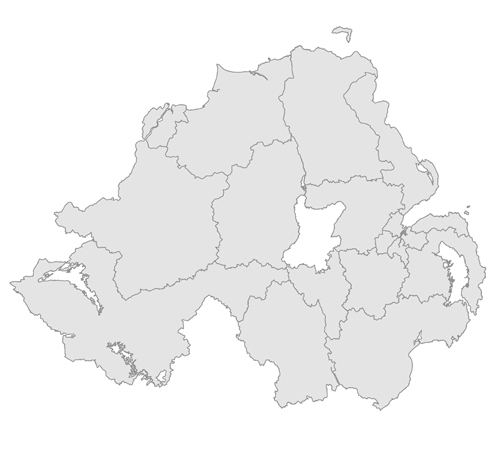
Please hover over the map below and click on a Constituency - or select from the list of Constituencies on the left - to view the profile.
This material is based upon Crown Copyright and is reproduced with the permission of Land and Property Services under delegated authority from the Controller of Her Majesty’s Stationery Office, © Crown copyright and database rights.


